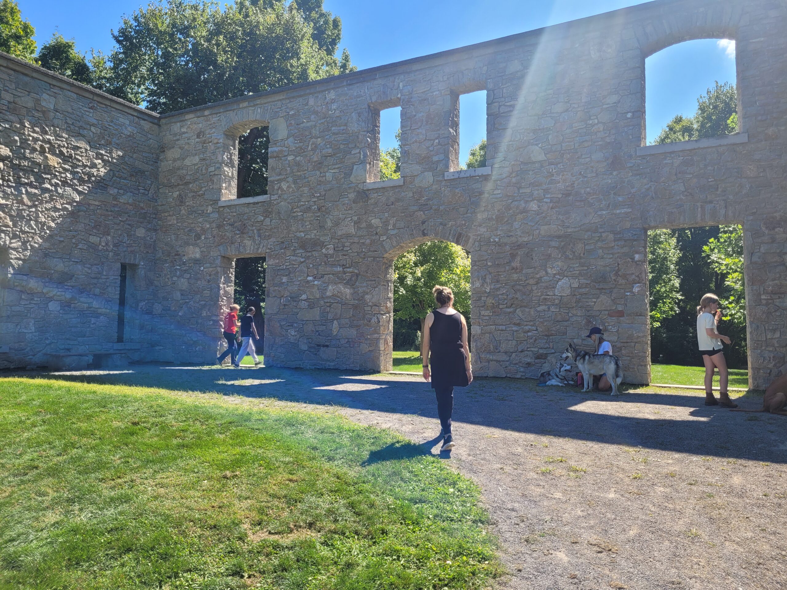
Posted along the popular 3.4-km. Main Drop Trail in the heart of Dundas Valley are 13 signs or interpretive panels with words and pictures offering the Basadinaa experience, an Indigenous-led journey that shares knowledge of culture. The Main Drop trail is part of a 40-km system of accessible trails inside the Dundas Valley Conservation Area that covers about half of the 2,700-hectare Dundas Valley, and is owned and operated by Hamilton Conservation Authority (HCA).
Visitors can obtain an intimate understanding of the culture, history and natural world view from the First Nations who have fished, hunted and lived here at the west end of Lake Ontario, also called Head of the Lake, for centuries: the Six Nations of the Grand River and the Mississaugas of the Credit First Nation. Incidentally, Basadinaa means “in the valley” in Anishinaabemowin, the language of the Mississaugas.
“It is actually a beautiful way for both the Mississaugas and the Six Nations to come together on a project because there are many differences,” says Jaquie Jamieson, senior manager of tourism and community development at Six Nations. “To be able to see both of the cultures represented is really nice. A lot of the stories that are told within the plaques or the signage are really common stories that we tell today. But to certain people, they may not have been heard before.”
“The First Nations and conservation authorities are in a sense very natural allies and we are partners on the land,”adds DarinWybenga,a manager of culture at the Mississaugas.
The Dundas Valley is endowed with a rich variety of deciduous trees typical of the Carolinian forest ecosystem which covers the central and east sections of the HCA. Complementing this is the presence of more than 300 species of birds gathering here at the west end of Lake Ontario.
A trail centre modelled on a Victorian old railway station and serving as the information hub for Dundas Valley Conservation Area and the main parking lot can be found at 650 Governors Road in Dundas. It sits secluded in the countryside outside the old town and is primarily accessible by car or bicycle via the major roads and highways such as the 403 entering Hamilton.
Visitors should check the HCA website, conservationhamilton.ca/conservation-areas/dundas-valley/, for the various access points and parking lots in addition to the main Governors Road entrance. That also includes Artaban Road, Hermitage, Merrick and Monarch. Both the Artaban and Merrick parking lots are temporarily closed because of environment monitoring. There are various entrances rates including a $130 plus HST HCA membership fee. Otherwise, non-members are charged $11.50 to visit, plus $8.50 for parking.
HCA is emphasizing “taking your time” and “reflection,” and walking with “openness and curiosity,” along the Main Drop Trail, versus a sweaty fast walk or run, in the encounter with the Indigenous signage and the quiet serenity of this thickly wooded and partially shaded landscape.
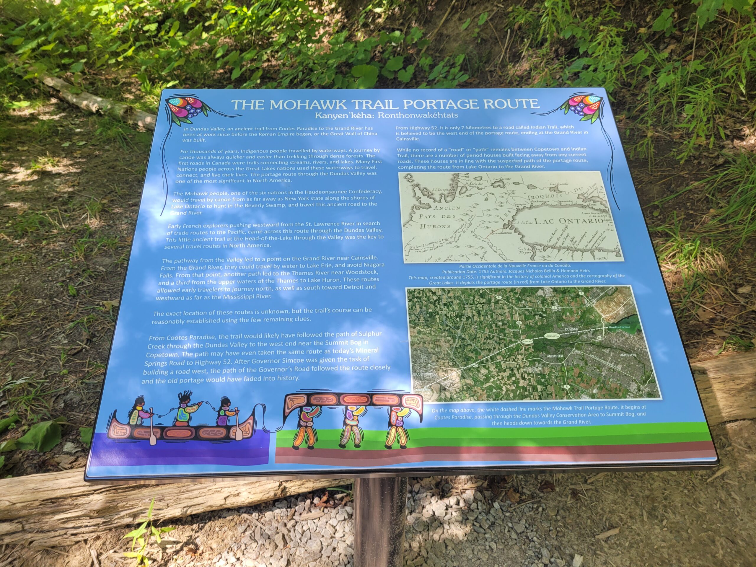
HCA recommends 45 minutes to an hour to complete the Main Drop Trail which includes different exits and entrances along the route. But the journey is potentially longer, depending upon one’s pace, as I can personally attest to as an older gent. Also, it is not advisable to use a walker or a stroller on the Main Drop Trail because the experience can be both laborious and painful.
HCA advises visitors to stick to the trail so as not to disturb the wide variety of local plants as well as various forms of wildlife. There are various species at risk including the Wood Thrush forest songbird and the American Chestnut tree.
John Terpstra, local award-winning poet and historian, describes the entire Dundas Valley as not a valley in the usual sense of the word. He explains how the Niagara Escarpment makes a geographical “hairpin turn” around the west end of Lake Ontario or the head of the lake. “There is no escarpment wall at the point where it executes the actual turn, however. Instead, it is all crumbled into the hills of Dundas Valley.” The valley is physically visible for local residents from the town hall in Dundas to Mineral Springs Rd.
The Basadinaa panels took 18 months to complete and cost about $60,000. The Great Tree of Peace panel explains how the ubiquitous White Pine is a metaphor for peace and unity among the Six Nations that make up the Haudenosaunee people living in various communities in Ontario, Quebec and New York State.
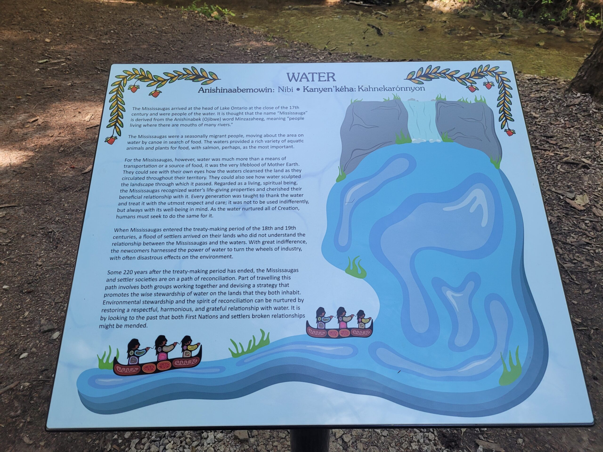
A second panel, entitled Water, shows how the Mississaugas migrated south to the head of the lake at the west of Lake Ontario where they took up permanent residence in the 1600s. The name Missisauga is derived from the Anishinaabe word ‘Minzazaheeg’ which means people living where there are mouths of many rivers.
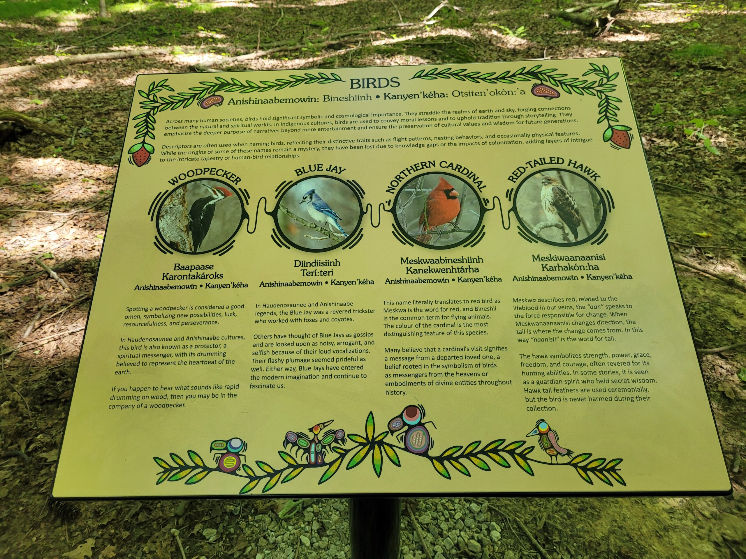
Other panels include: the Haudenosaunee Creation Story, the Anishinaabe Medicine Wheel, the Haudenosaunee Thanksgiving Address, the Between the Lakes Treaty No. 3, and Birds.
Today, a forest and a trail in the Dundas Valley Conservation Area are named after Thomas Beckett, the first chair of what was originally the Hamilton Region Conservation Authority. Starting in the late 1950s he was responsible for the acquisition of sensitive and flood plain lands in the local watershed including in the later ‘60s, the Dundas Valley that became part of the conservation authority. He also led a successful campaign to stop a provincially planned highway smashing into the valley, the Dundas Bypass.
Now the Beckett legacy faces a challenge. HCA will be no longer exist as the Ontario government embarks upon the merger of local autonomous conservation authorities across the province. Details are few but the matter is sparking controversy and concern about a potential loss of protected land to developers.
The Mississaugas are not usually concerned about settler governance and structure, says Wybenga. But he understands the concern. “Hopefully, [the new authorities] don’t get so big and unwieldy that they forget some little details along the way.”